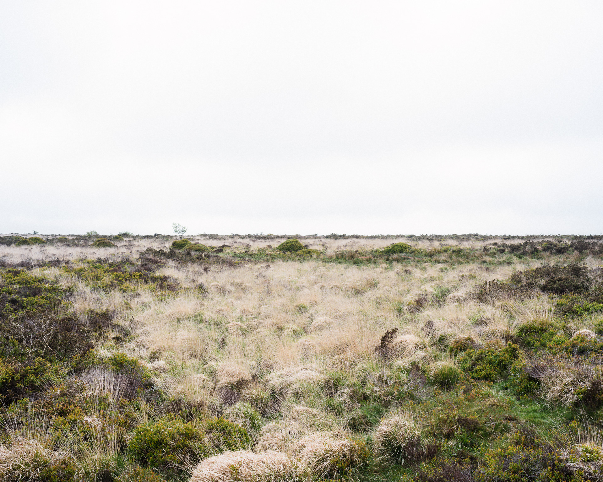
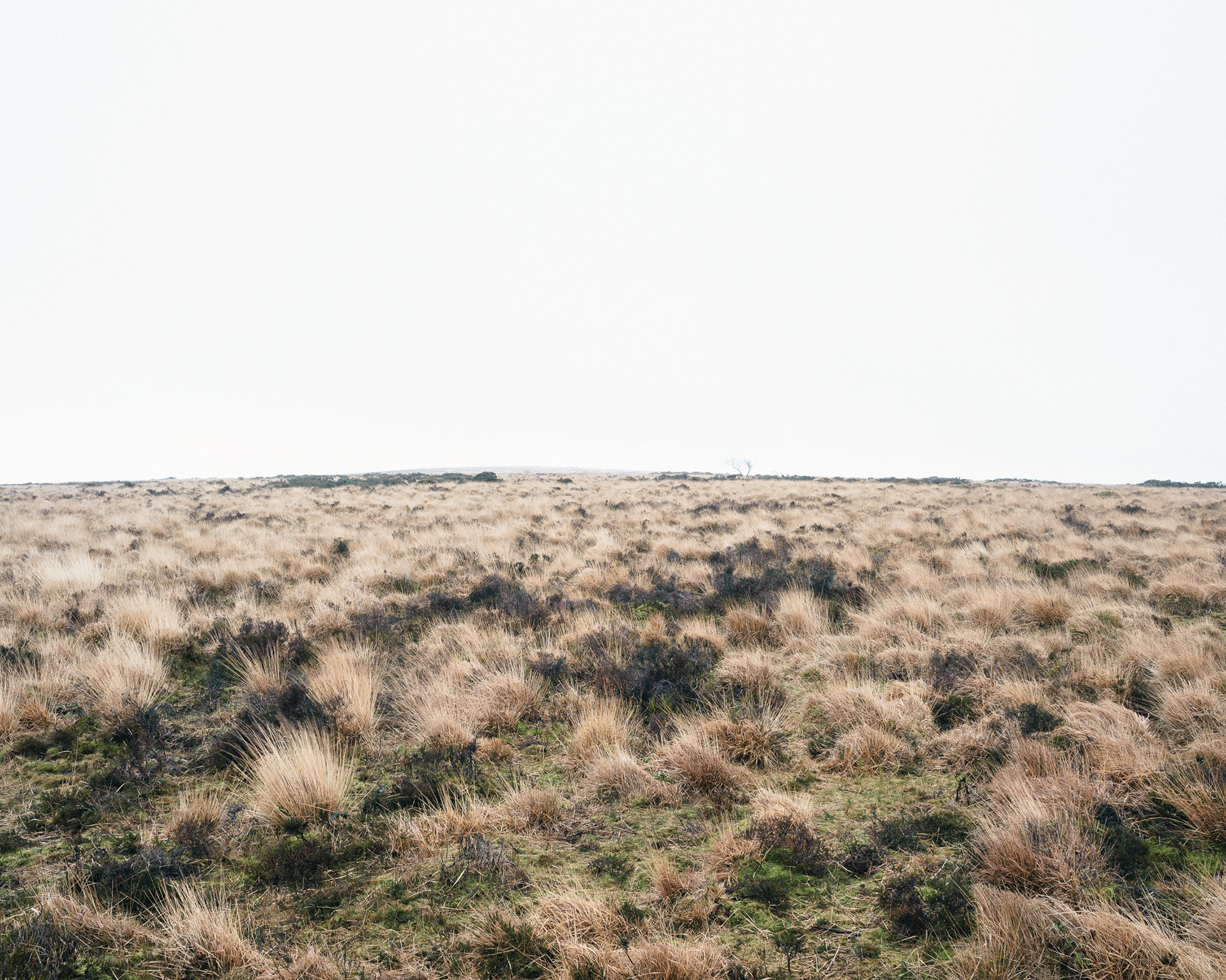
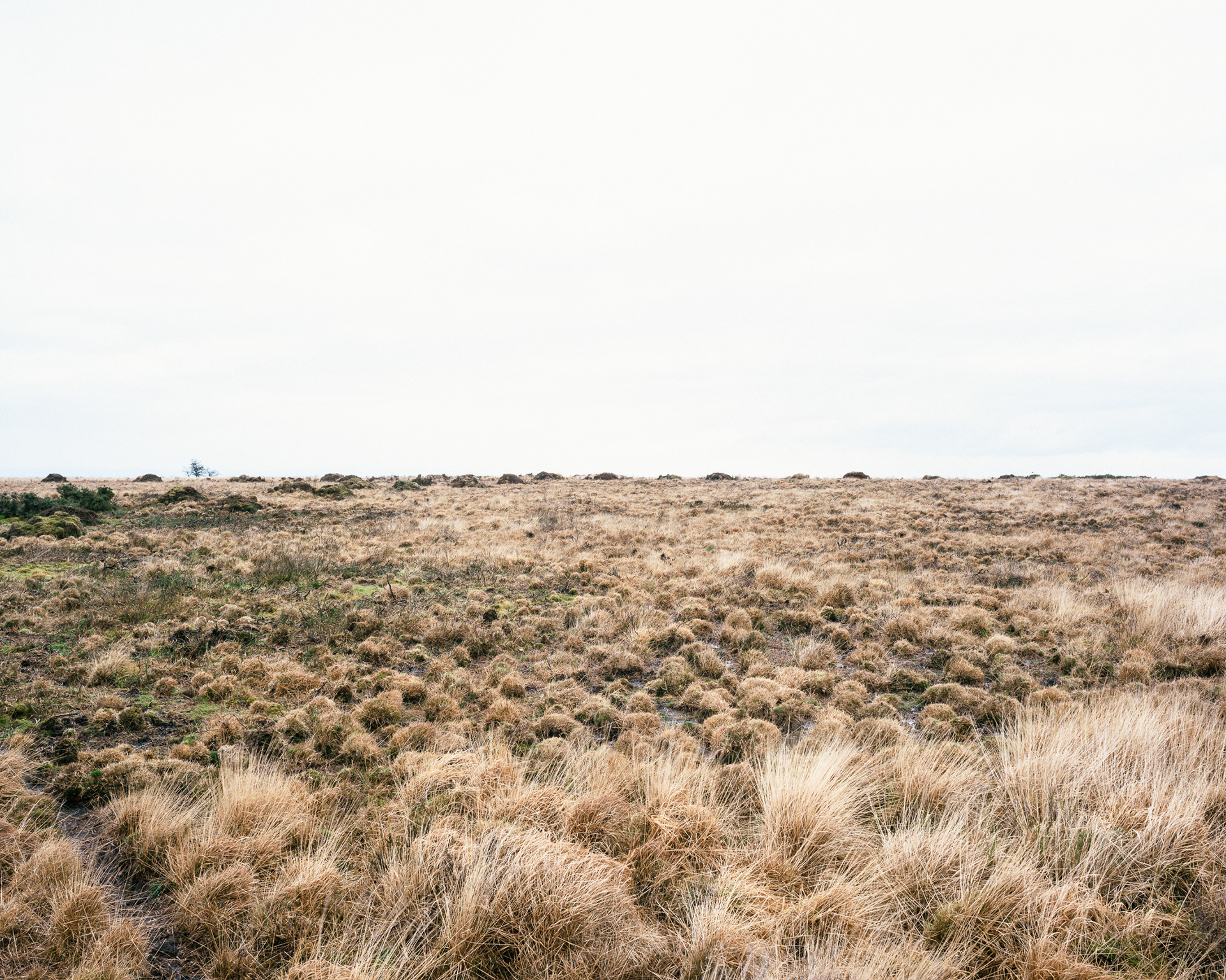
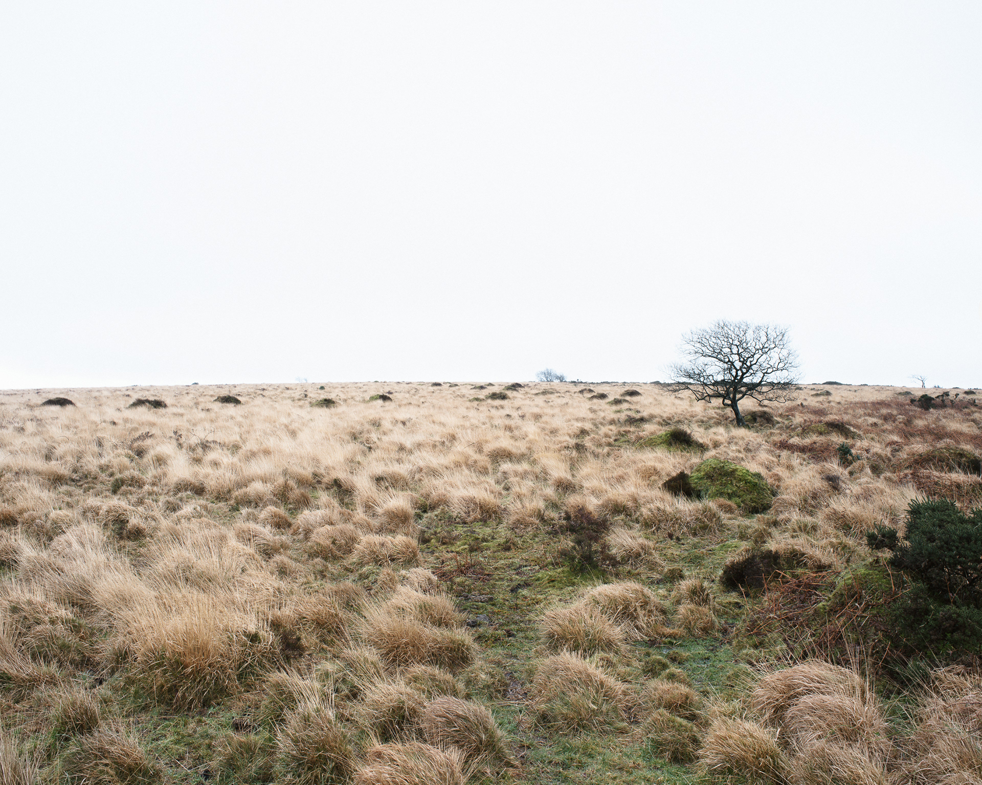
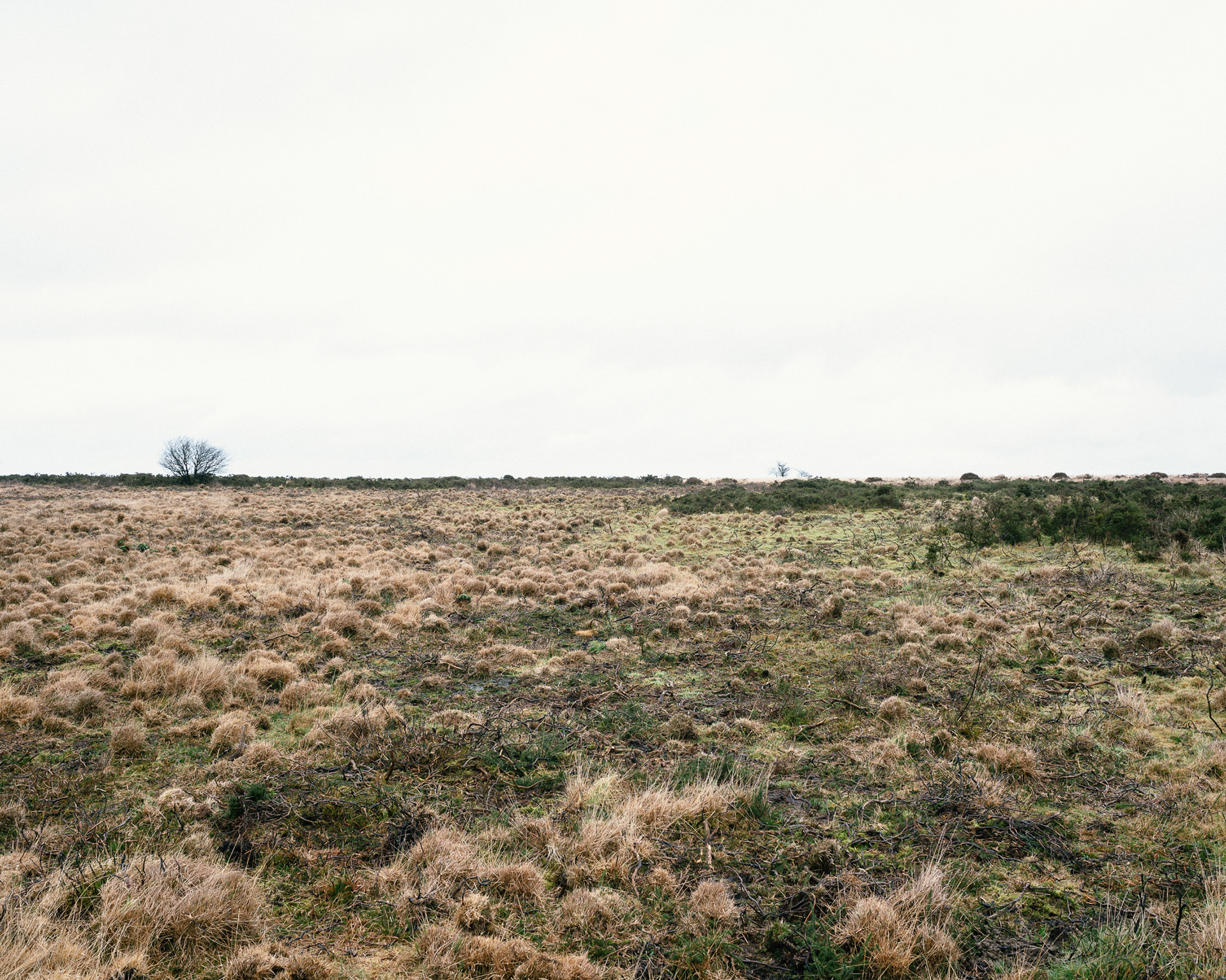
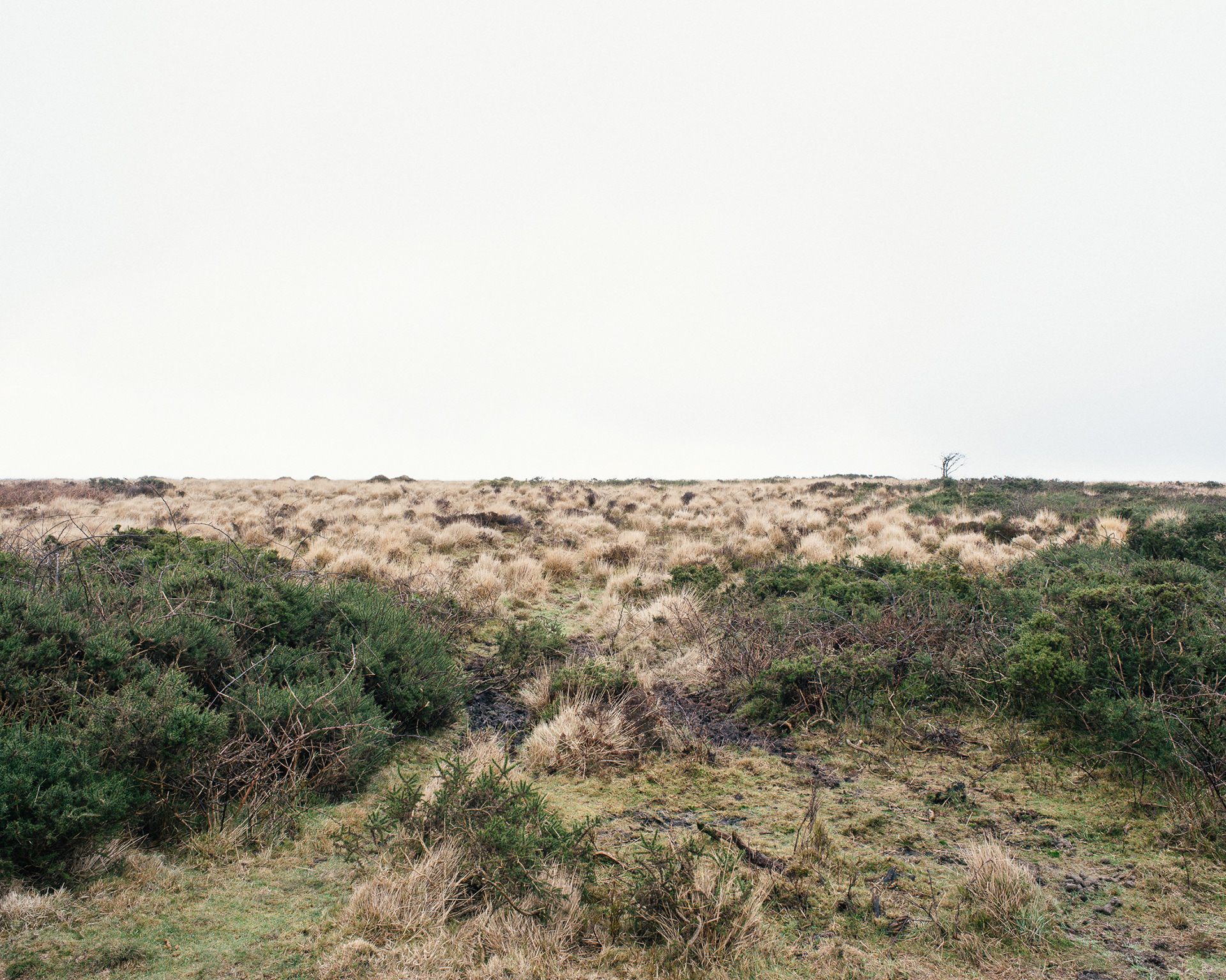
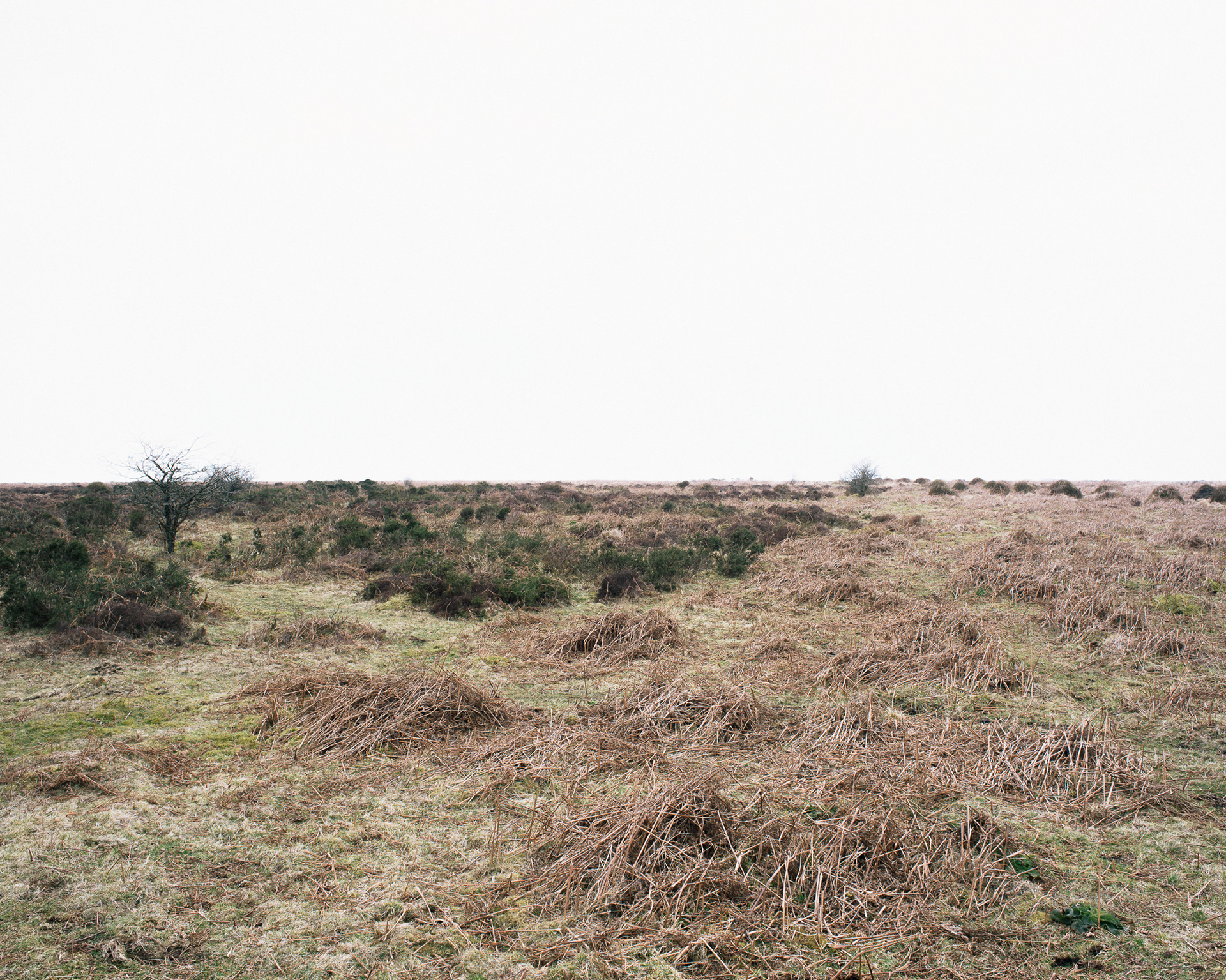
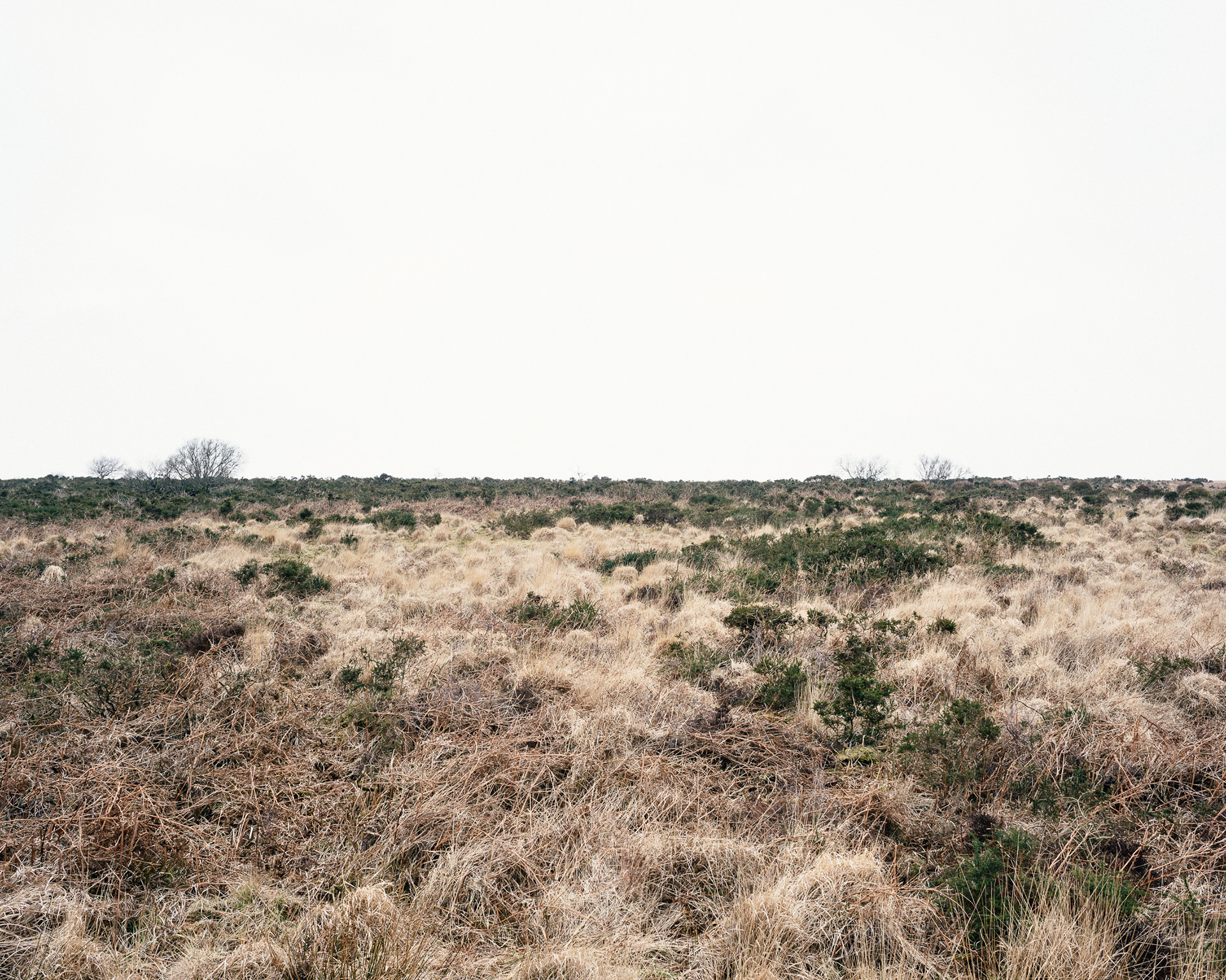
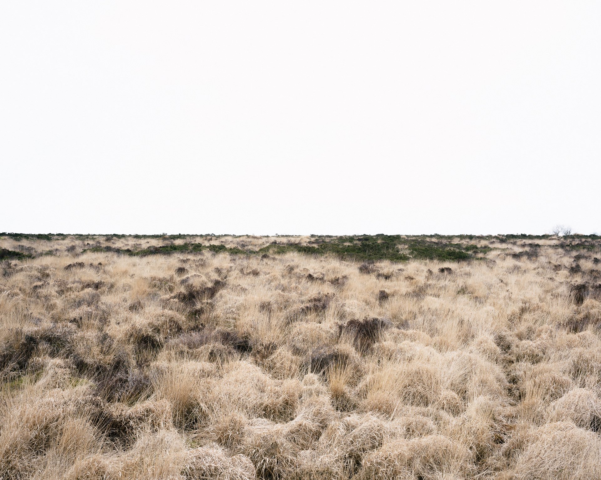
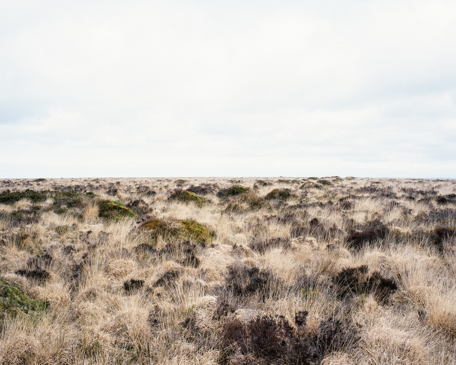
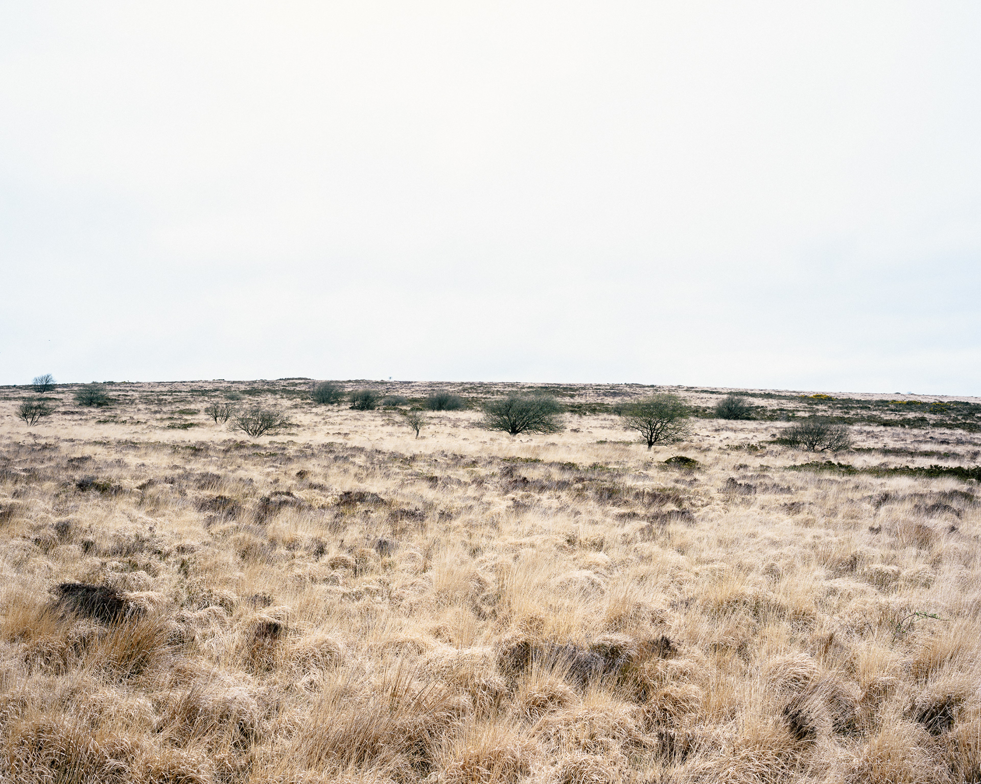
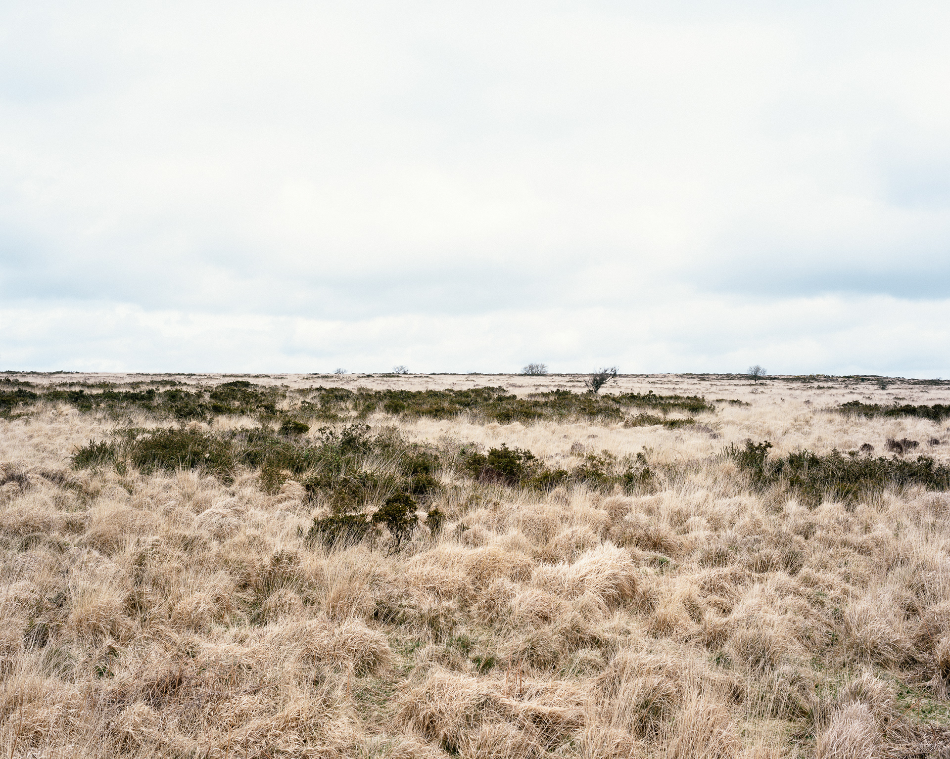
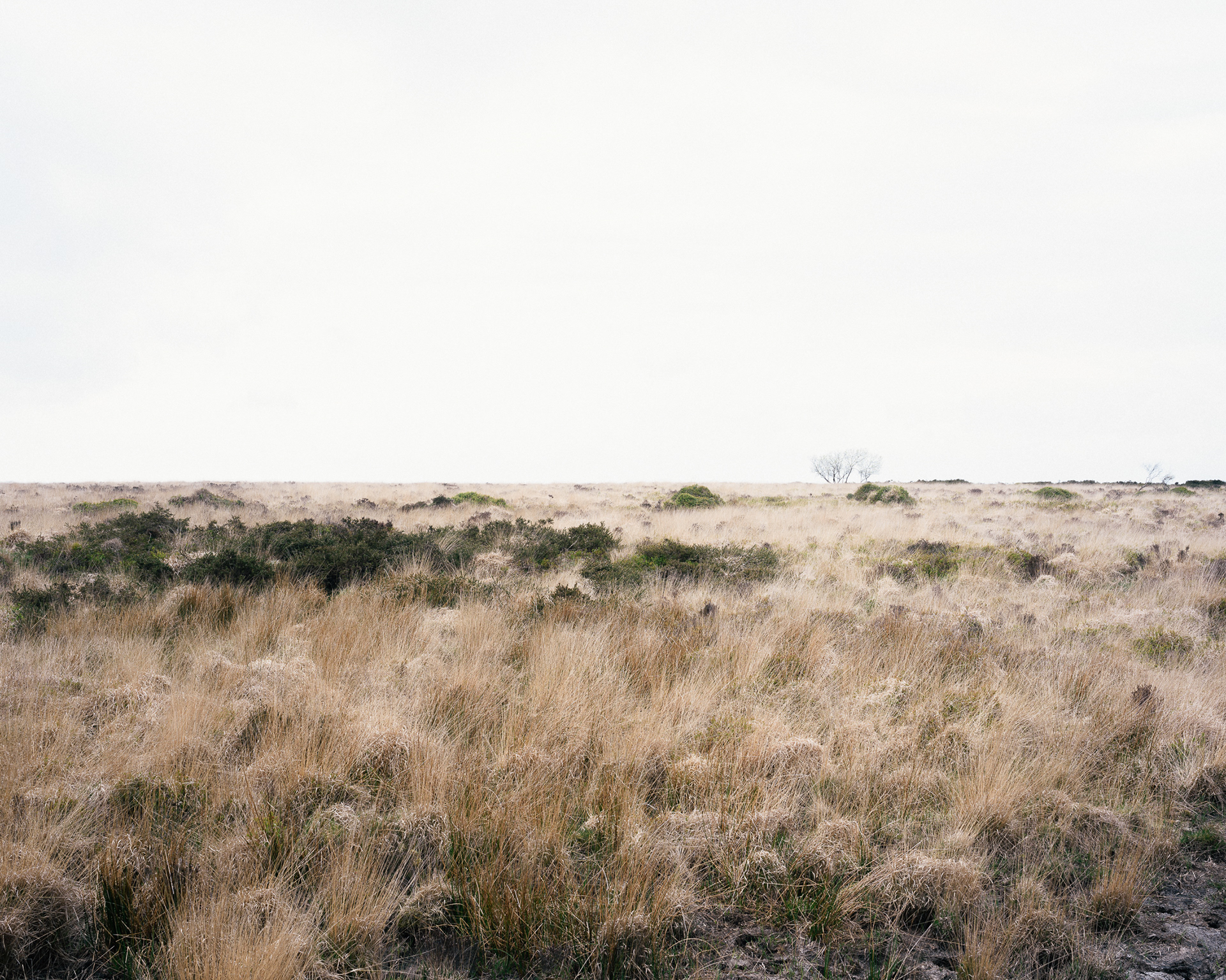
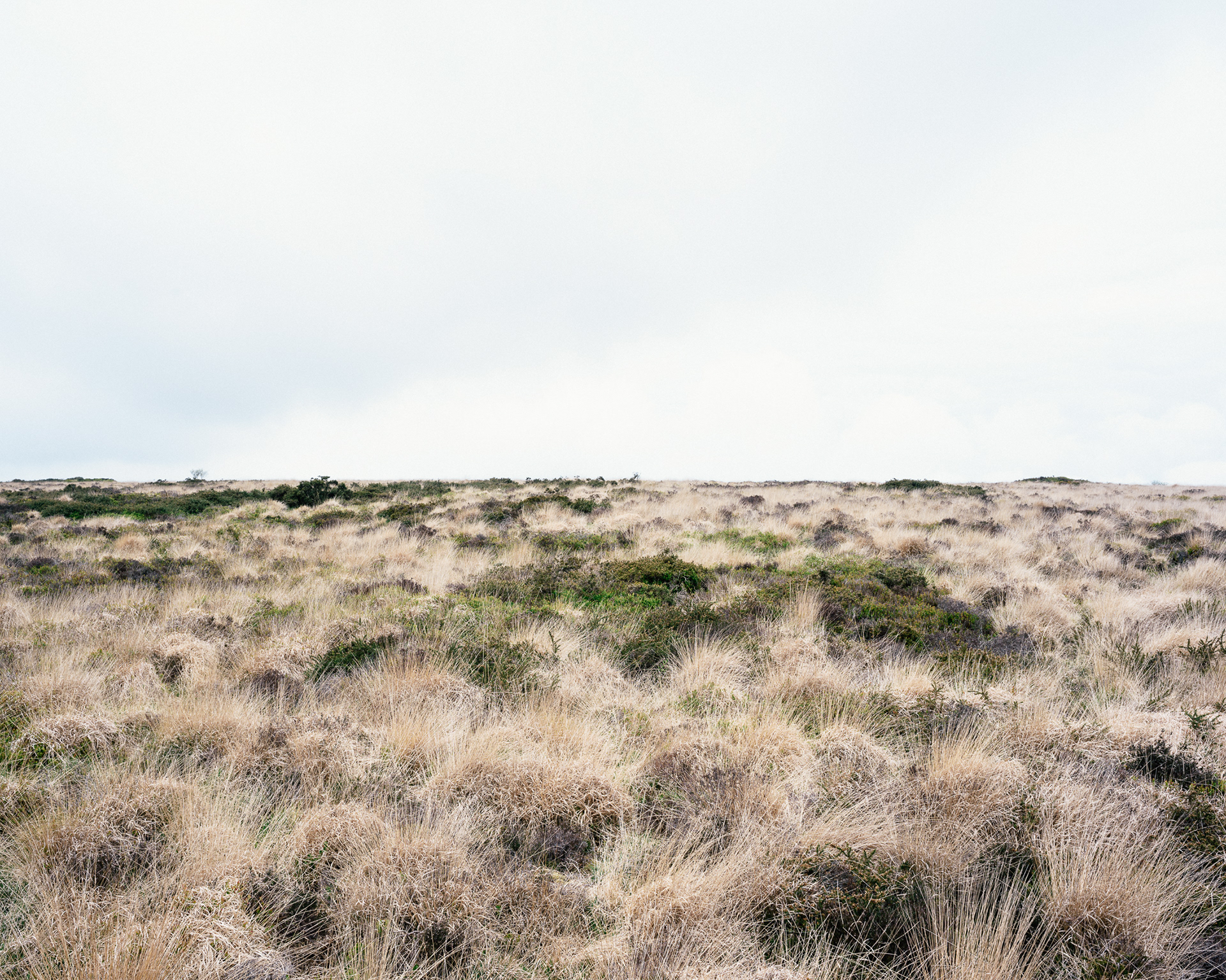
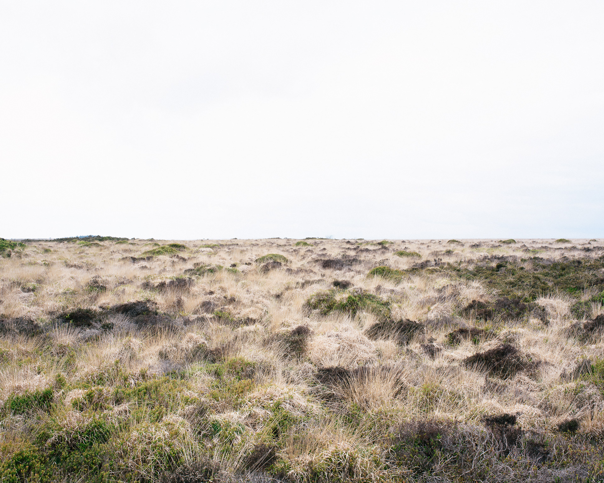
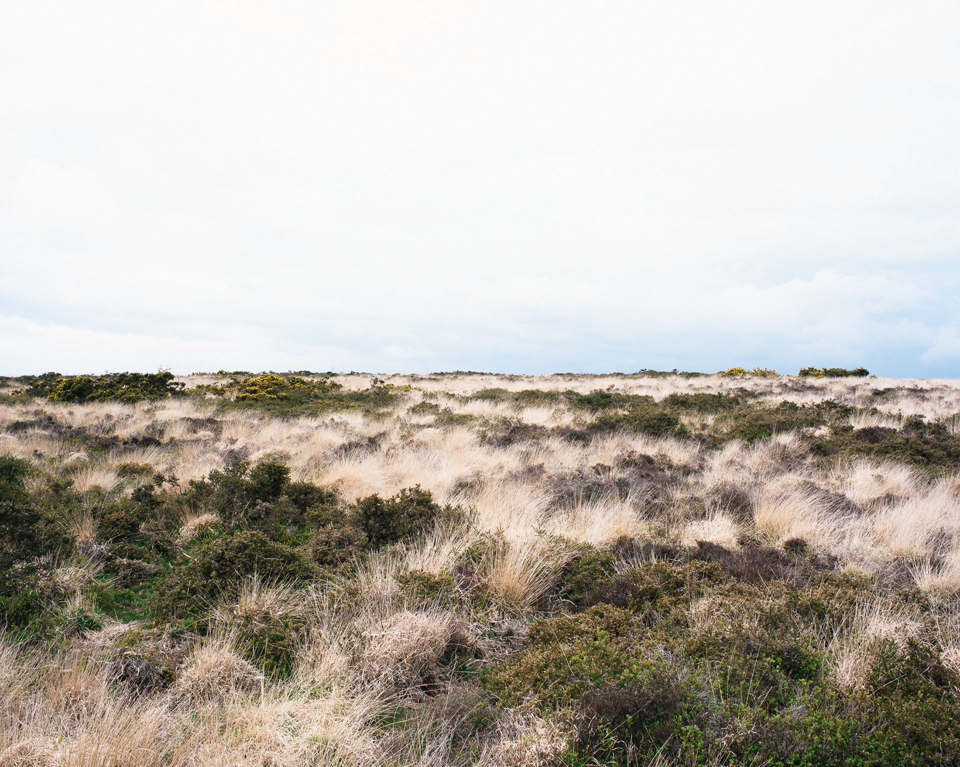
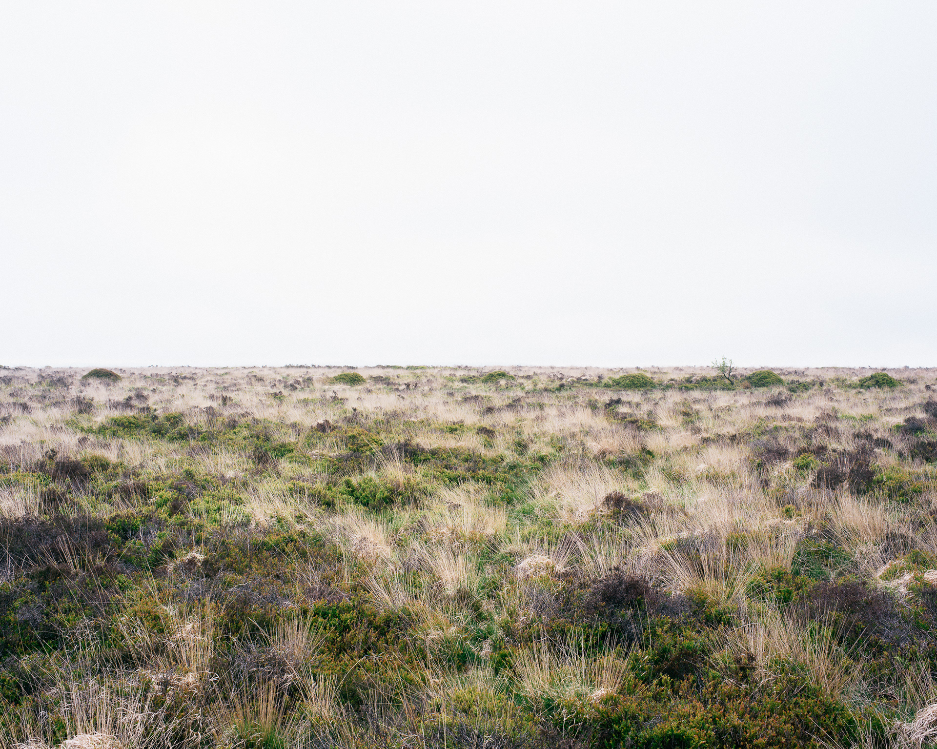
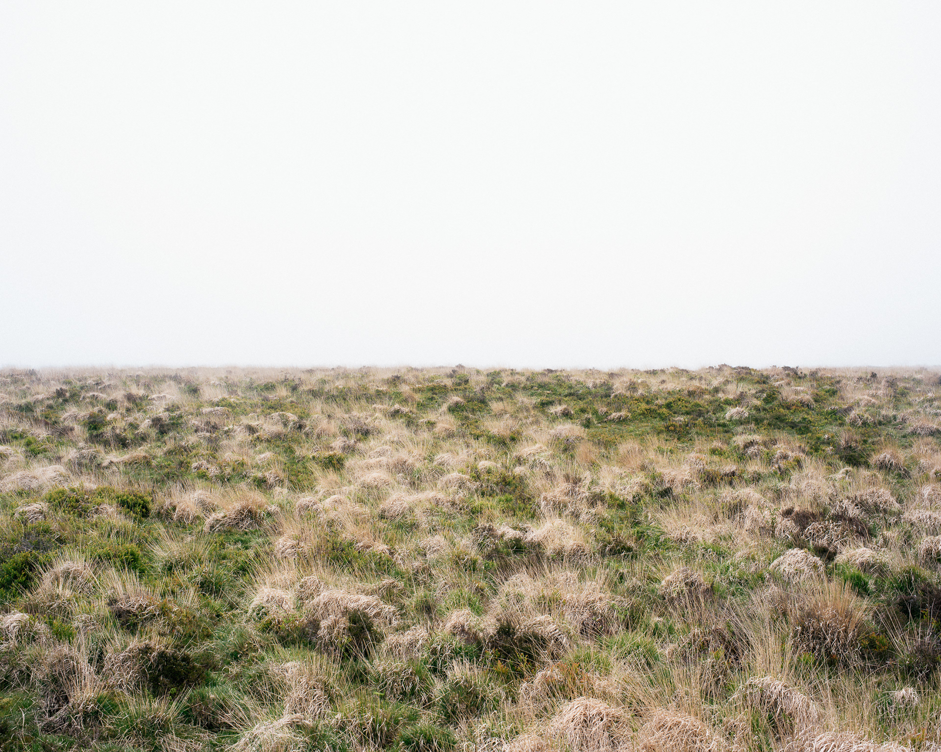
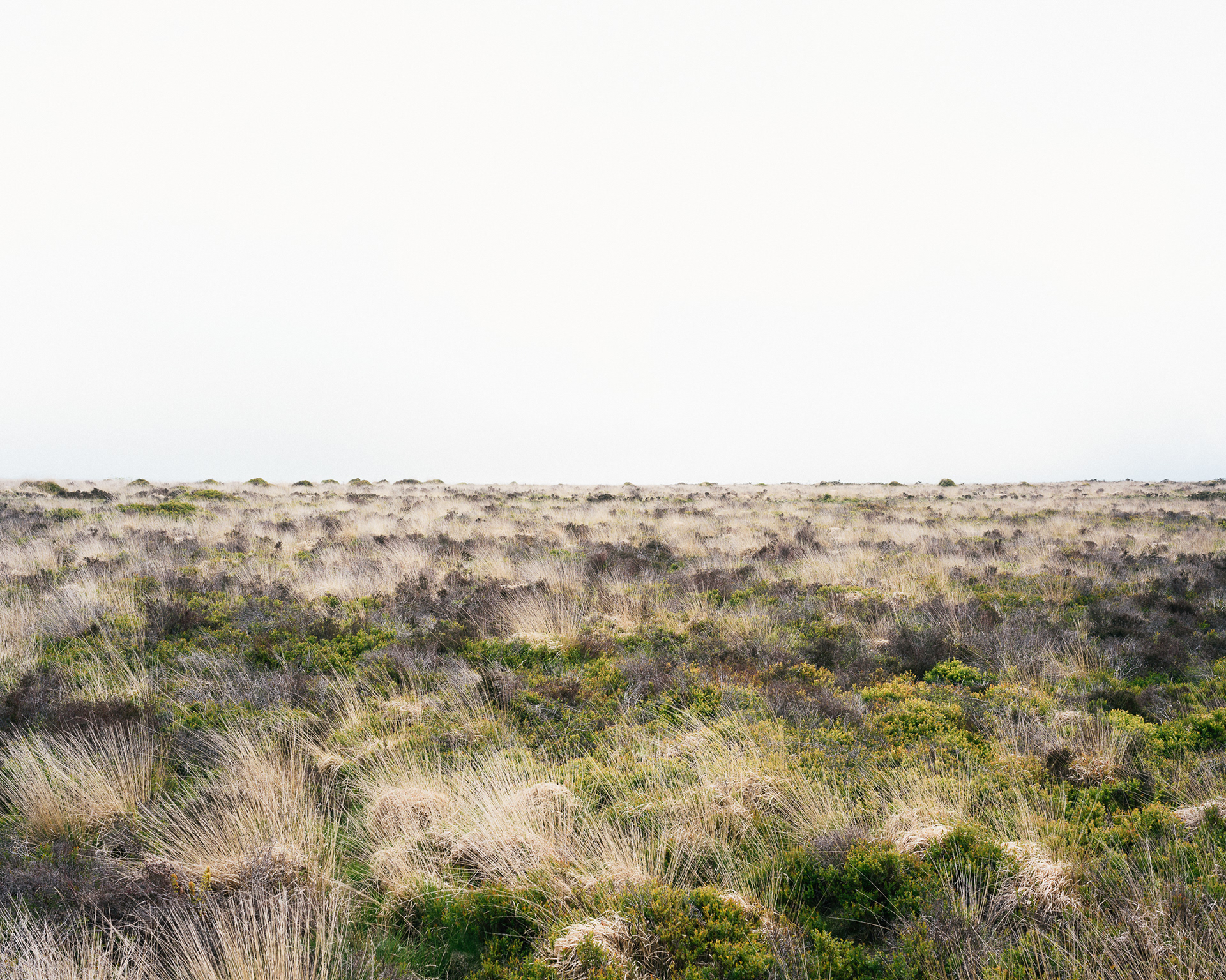
This series was made within the context of a PhD where I examine the visual consequences of conservation legislation within the Mendip Hills. The practice in this series examines a method of photographing Black Down, the highest point in the AONB. The strategy is based on an examination of a scheduled monument preserving a World War 2 bombing decoy covering the site. The photographs make use of a strict method based on a map I drew for this research. This map combines the boundary of the scheduled monument with lines formed by tracing an aerial photograph of the physical remains of the bombing decoy. The result is a grid of fifty-three sections. The final photographs explore these sections, using a
repeated pictorial strategy that deliberately excludes the land beyond the conservation area. This work is about creating a new landscape that features only the land highlighted as culturally valuable through inclusion within the scheduled monument boundary. This approach is then challenged in the next series, Dolebury Fort.
repeated pictorial strategy that deliberately excludes the land beyond the conservation area. This work is about creating a new landscape that features only the land highlighted as culturally valuable through inclusion within the scheduled monument boundary. This approach is then challenged in the next series, Dolebury Fort.

Map drawn by the artist dividing the area of the scheduled monument into sections based on tracing the physical artifacts of the bombing decoy from an aerial view
2
20
1
19
15

35
34

45
33

22
36
21
51
47
24
40
39
37

11
12
8
13

7