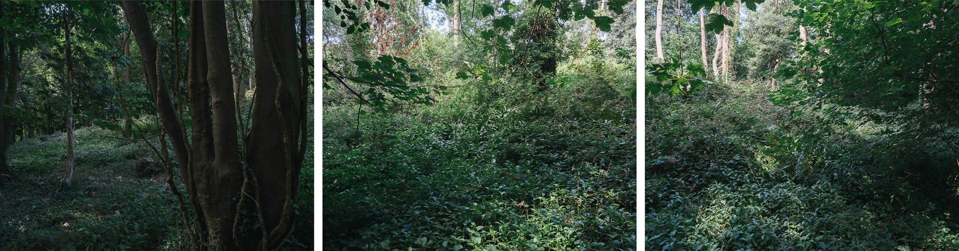
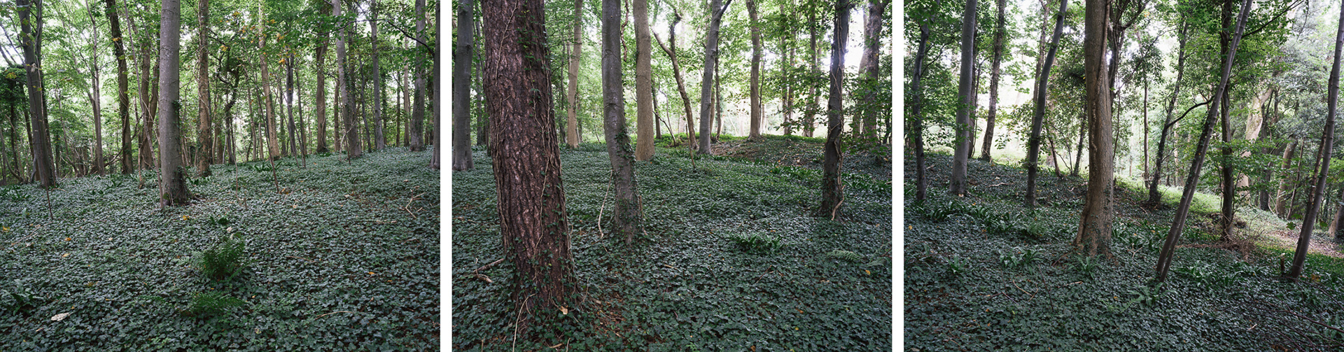
Developing the geo-locative experiments in my previous series ‘Sandford Hill’, this series of photographs is about challenging established photographic methods to begin to understand how photographs are important part of constructing landscapes that reflect an ideal of Beauty. The photographs were made at precise points along the boundary of a scheduled monument. These points were chosen as the intersection between the boundary and lines drawn from the mathematically calculated centre point of the designation area along cardinal (N,S,W,E) and inter-cardinal (NW,NE,SW,SE) compass bearings. At each point, a compass was used to face the camera back towards the centre of the designation and a panoramic triptych representing a one-hundred-and-eighty-degree view from the camera’s vantage point. The resulting landscapes are constructions – the act of placing the three photographs together on a flat field distorts the land as encountered and creates unique landscapes. These resulting landscapes exist as my response to the way in which conservation legislation creates a specific perspective of place.
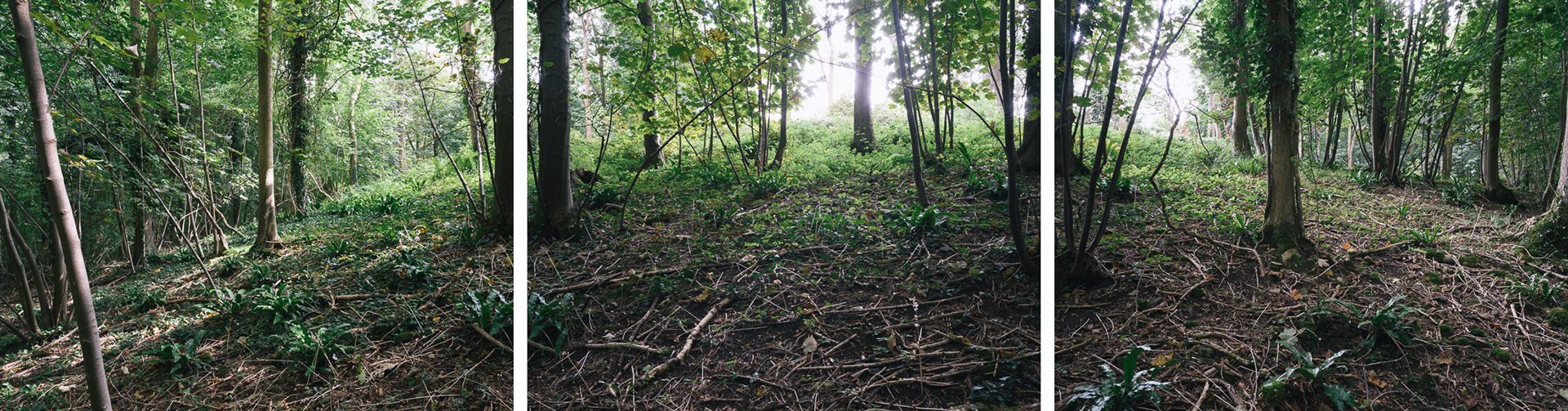
North point looking south
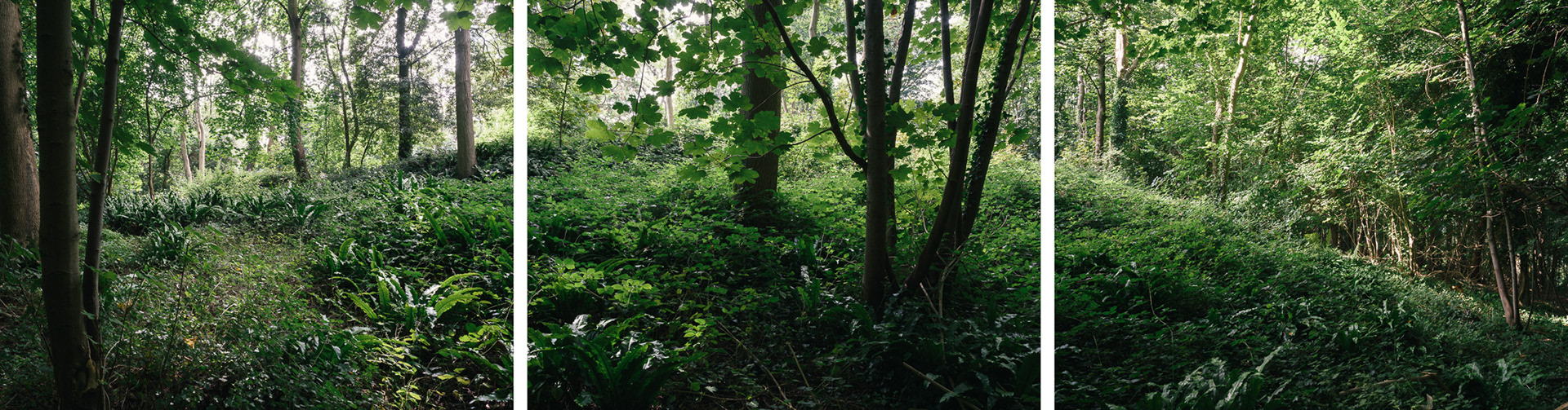
Northeast point looking southwest
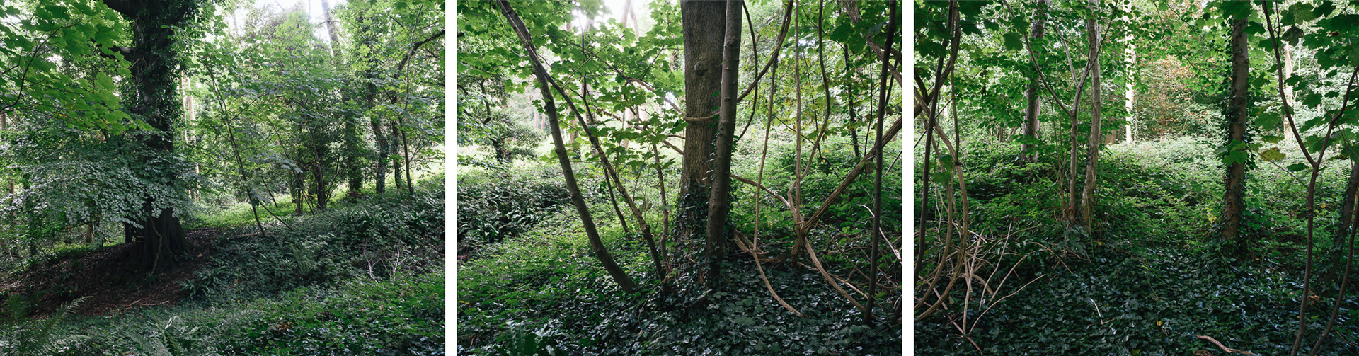
East point looking west
Southeast point looking northwest
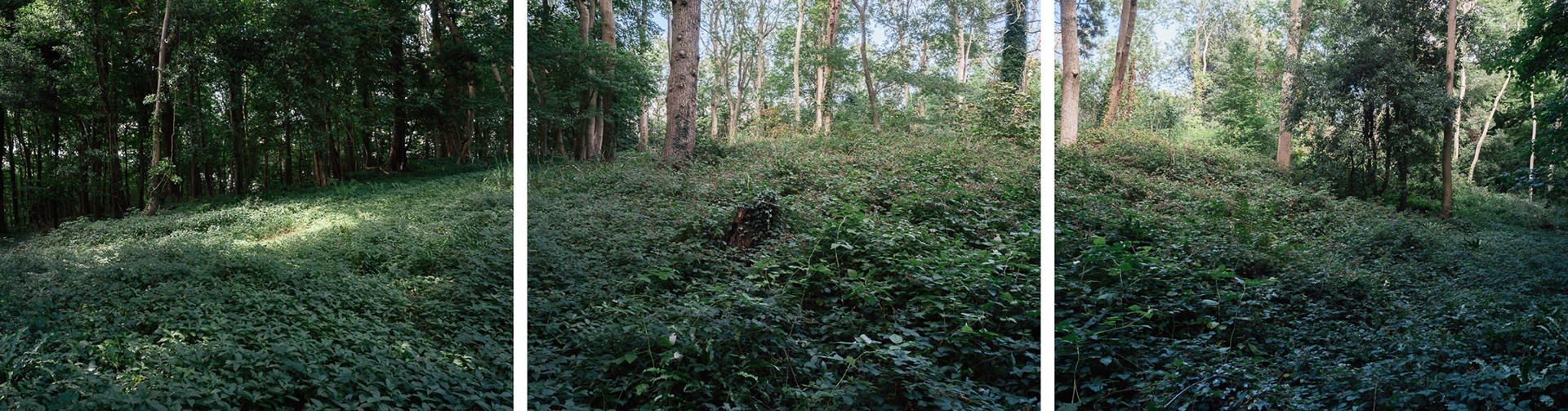
South point looking north
Southwest point looking northeast

West point looking east

Northwest point looking southeast