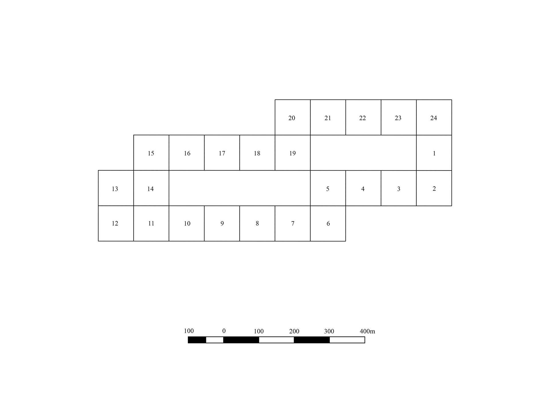
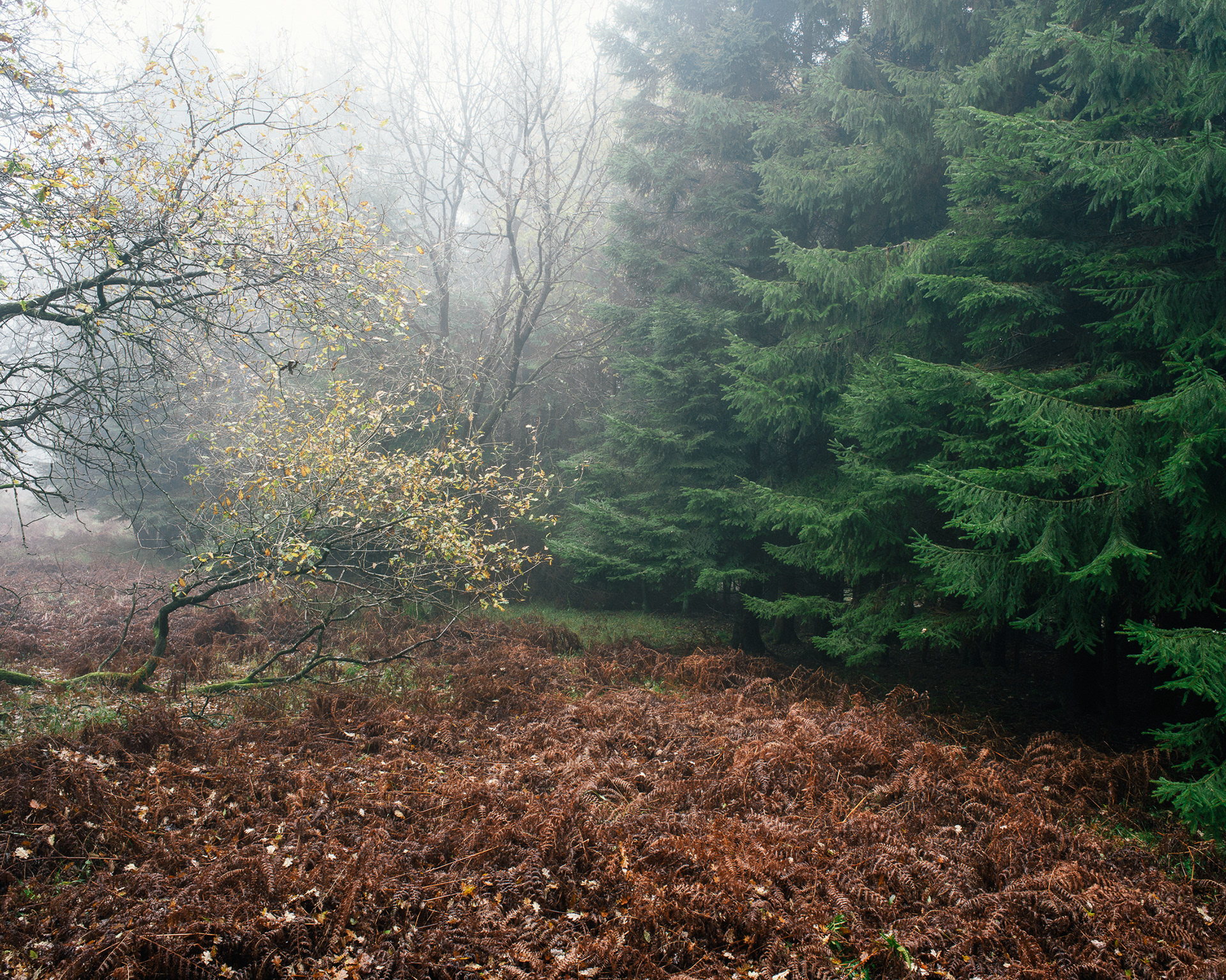
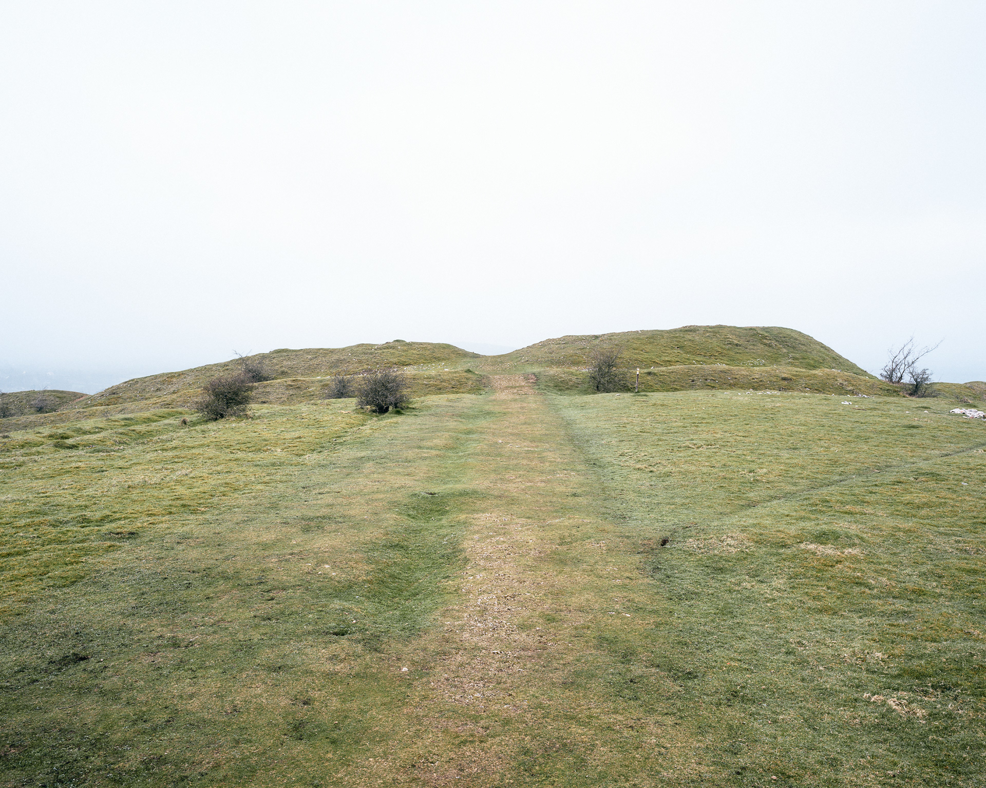
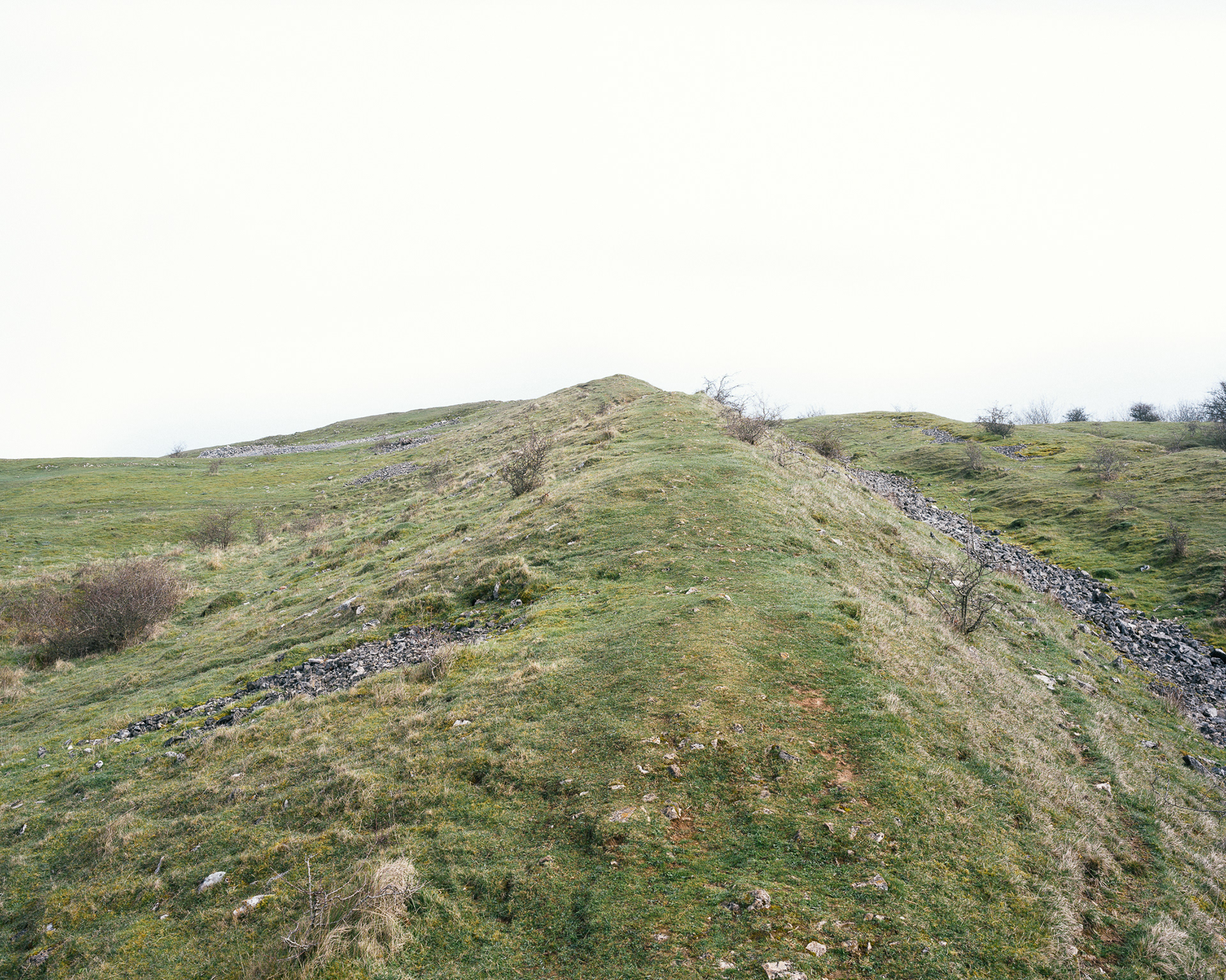
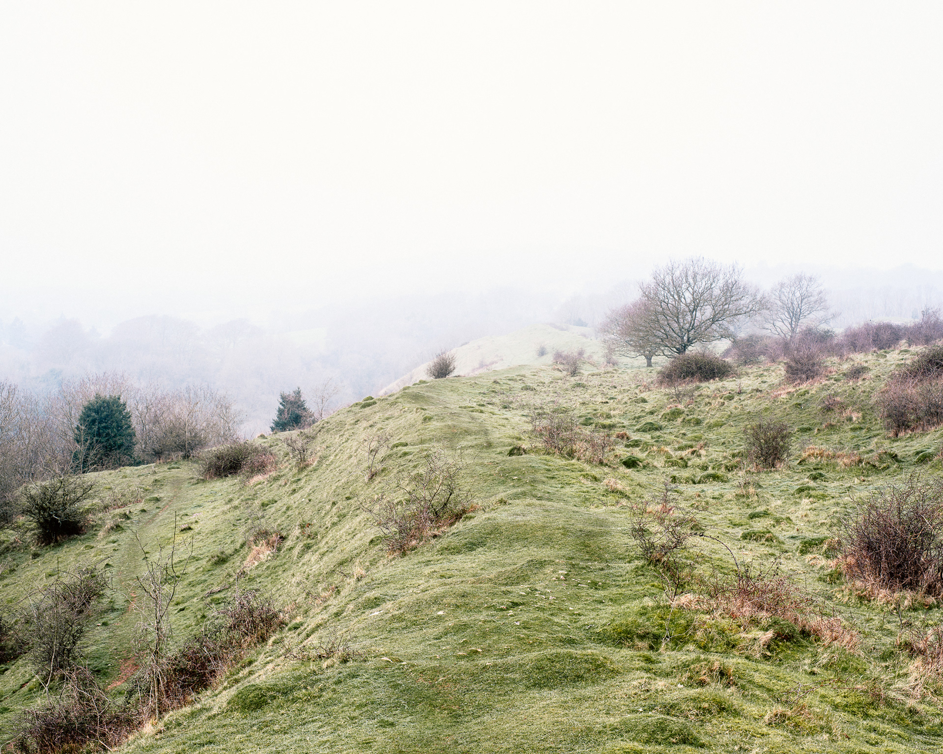
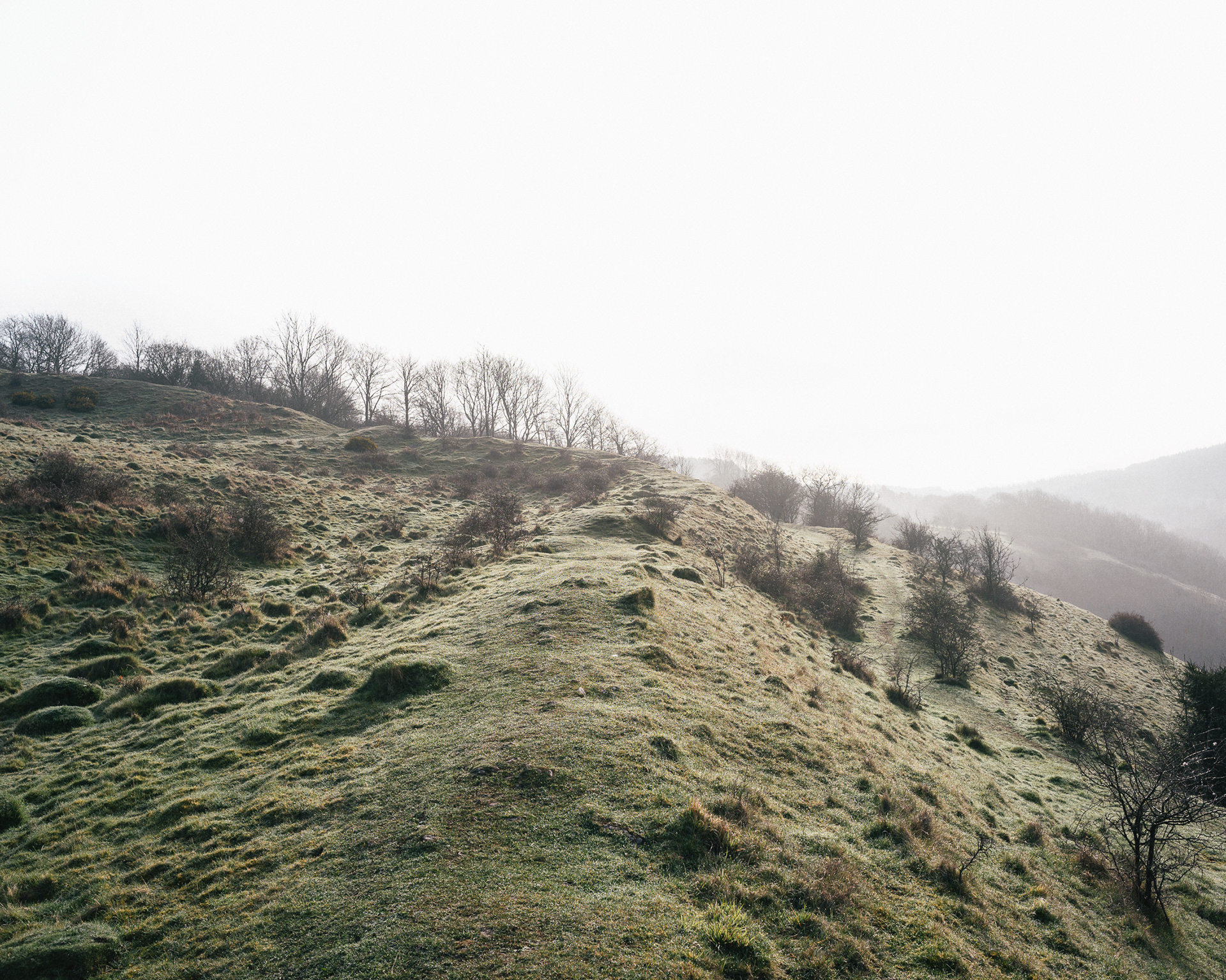
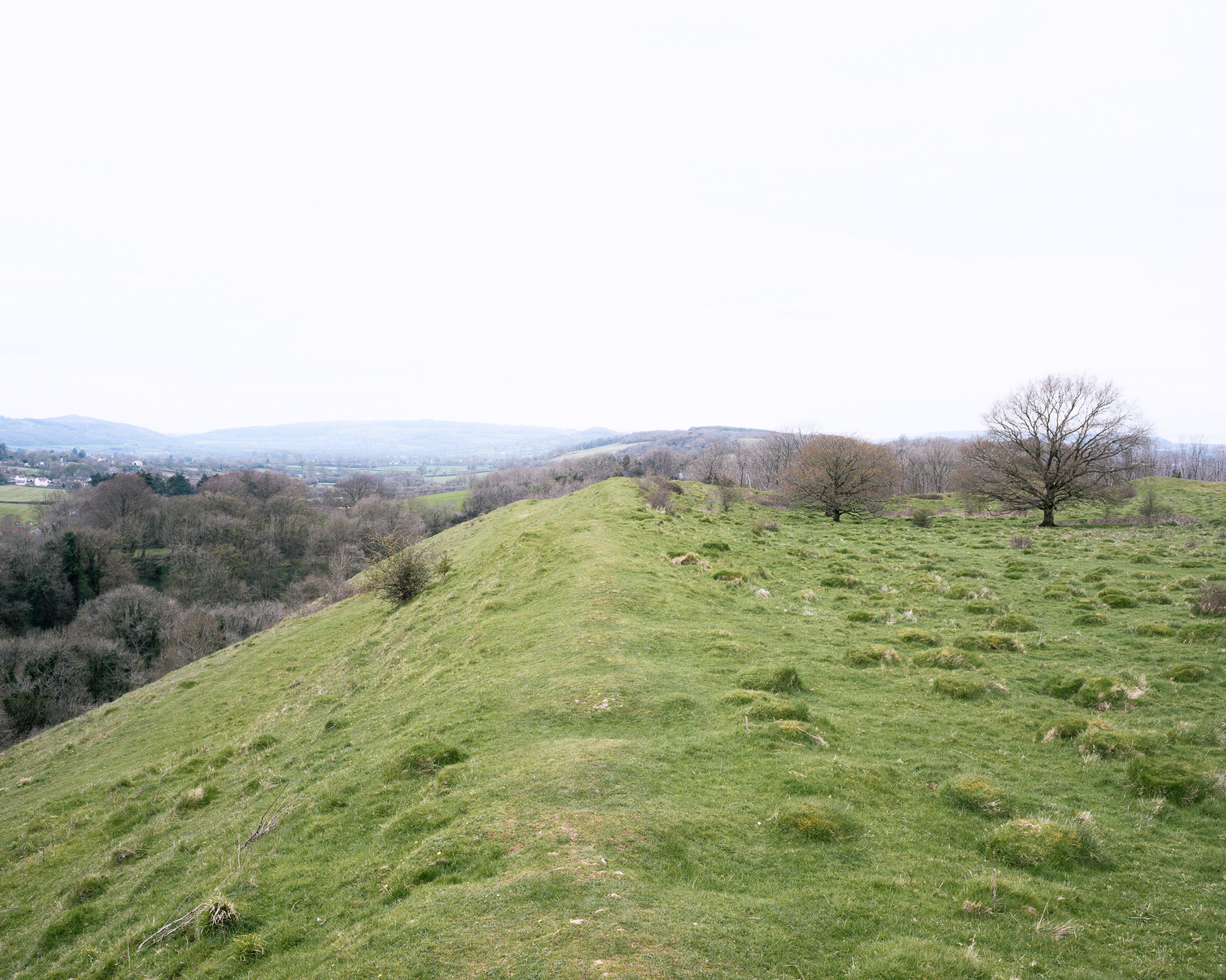
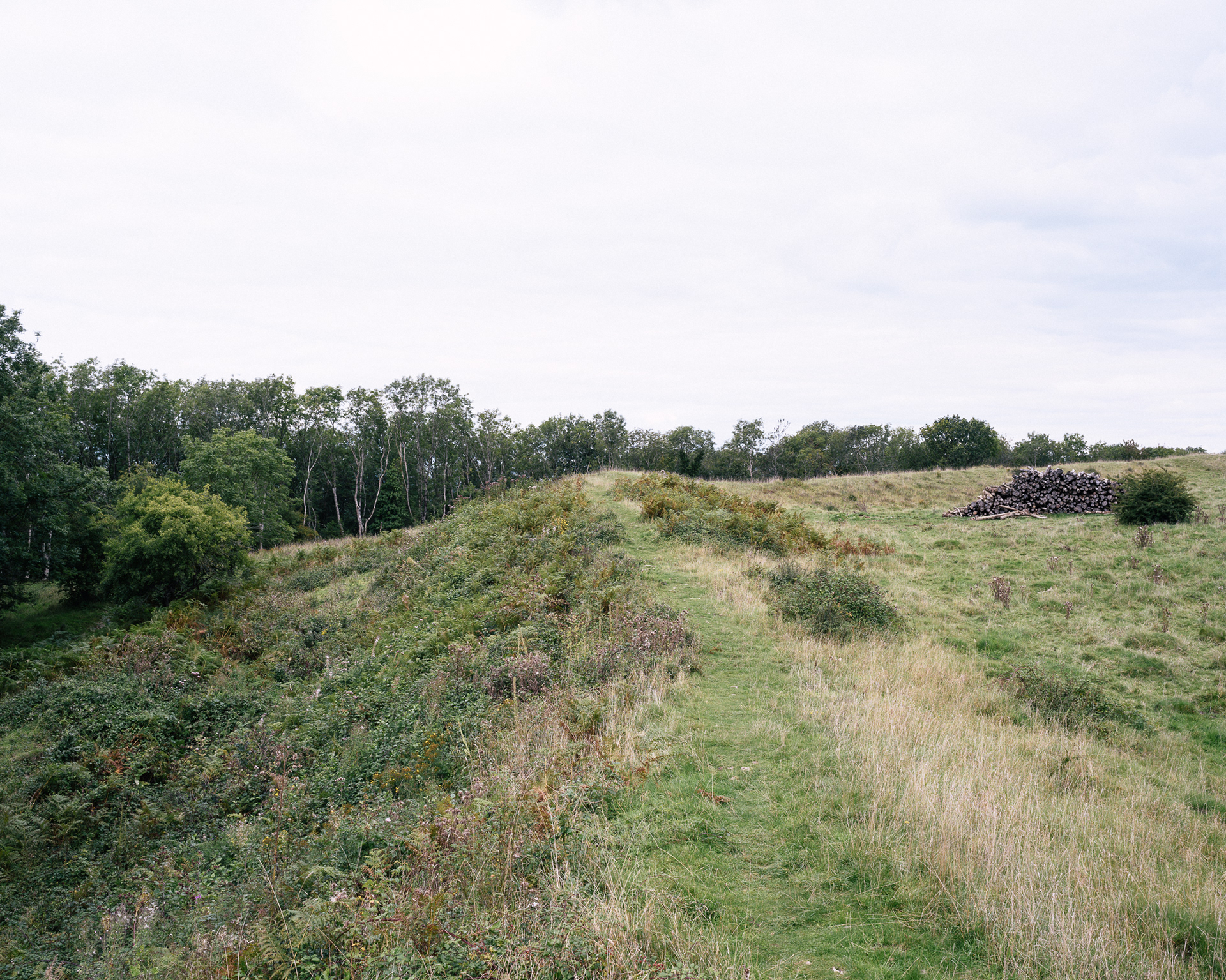
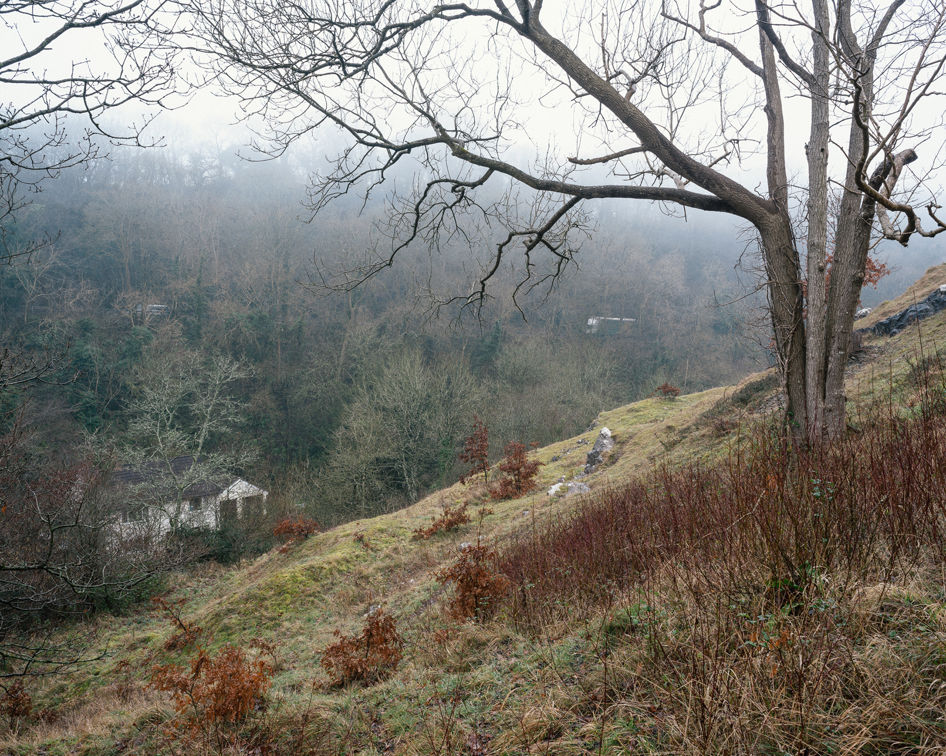
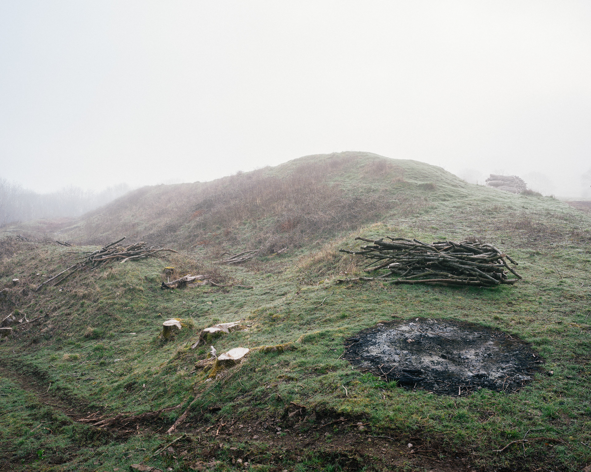
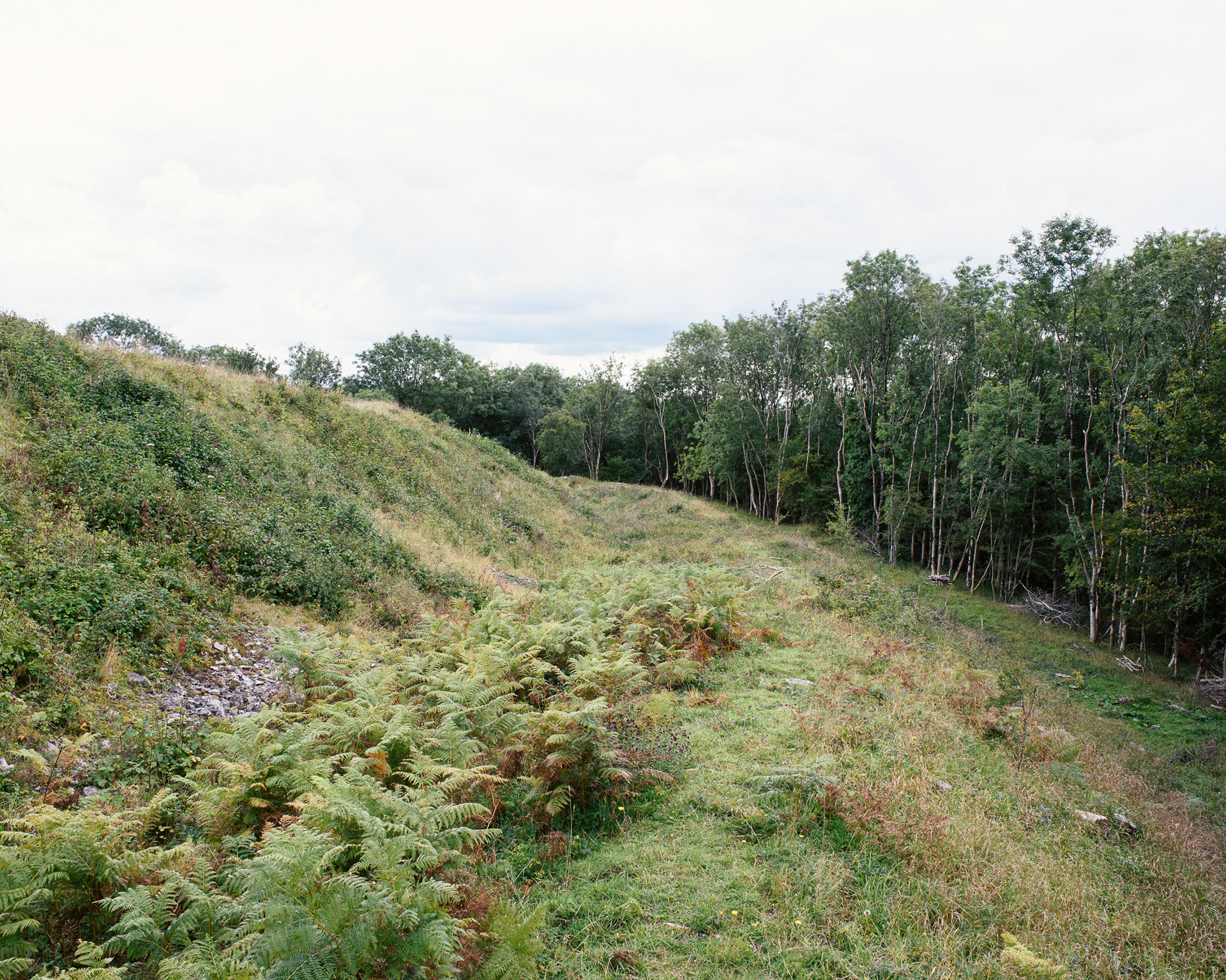
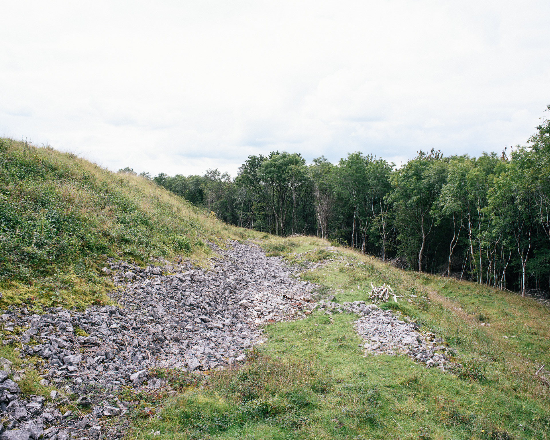
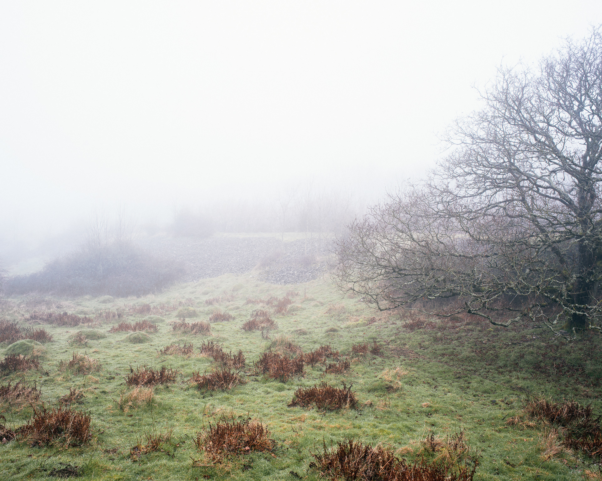
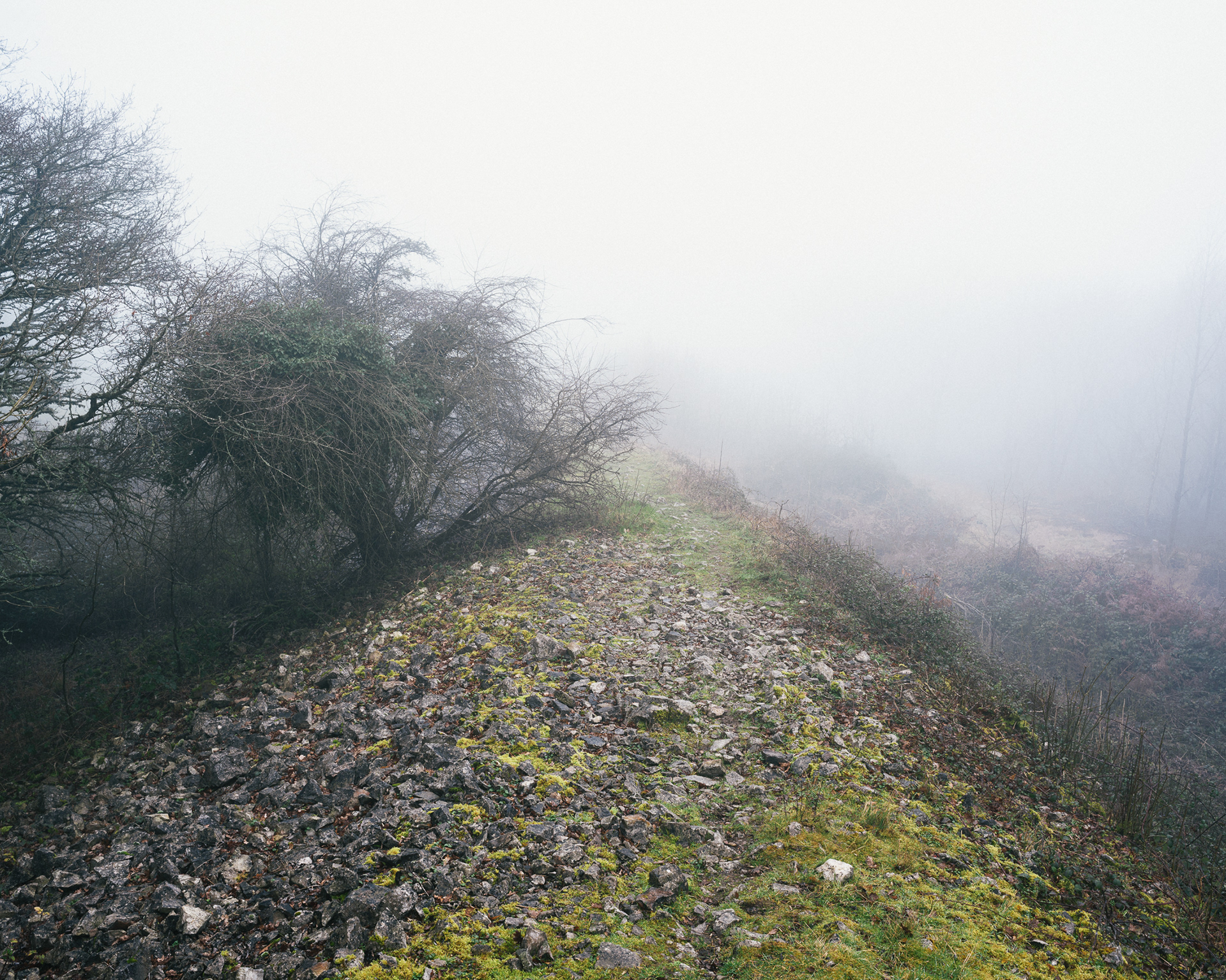
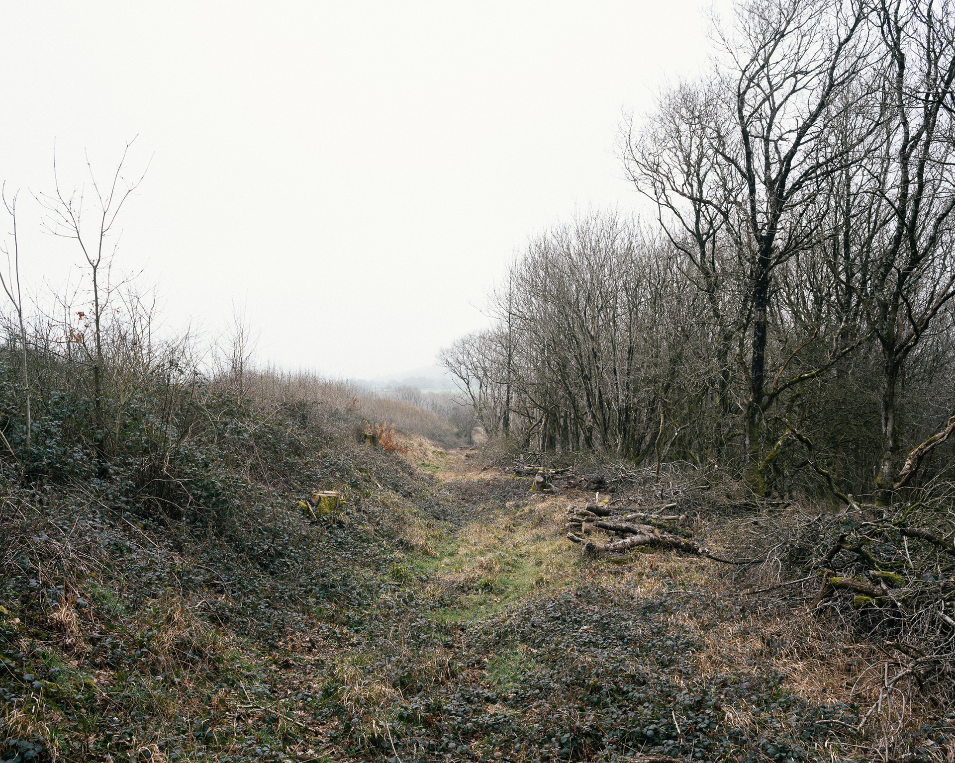
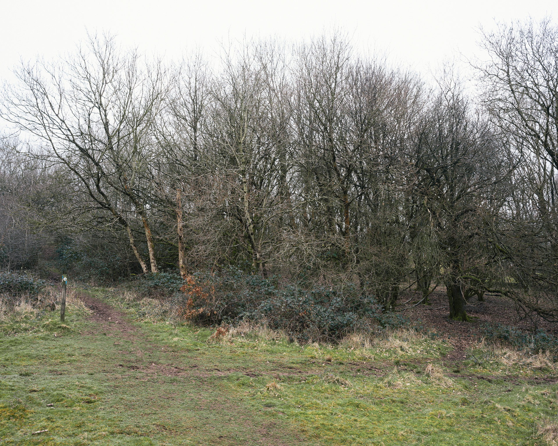
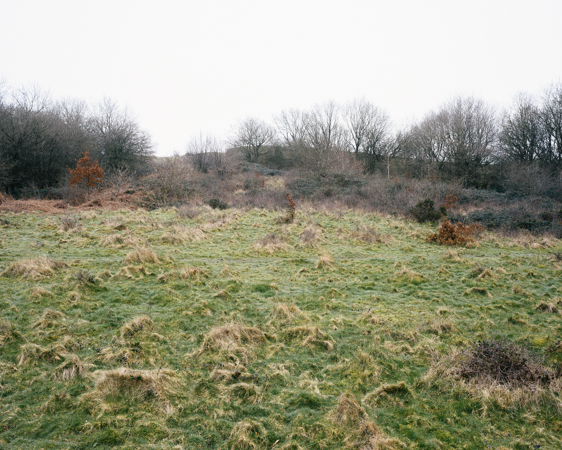
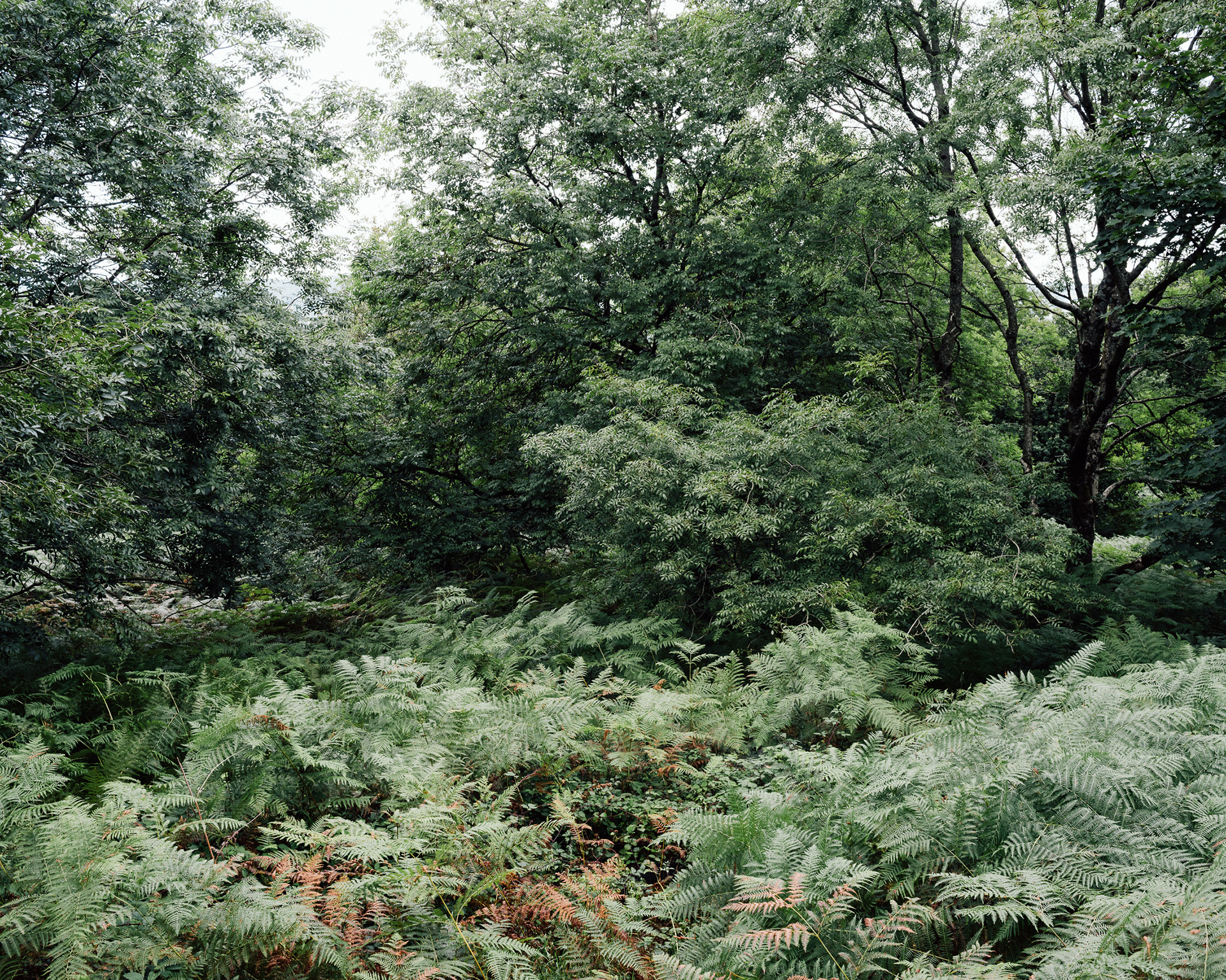
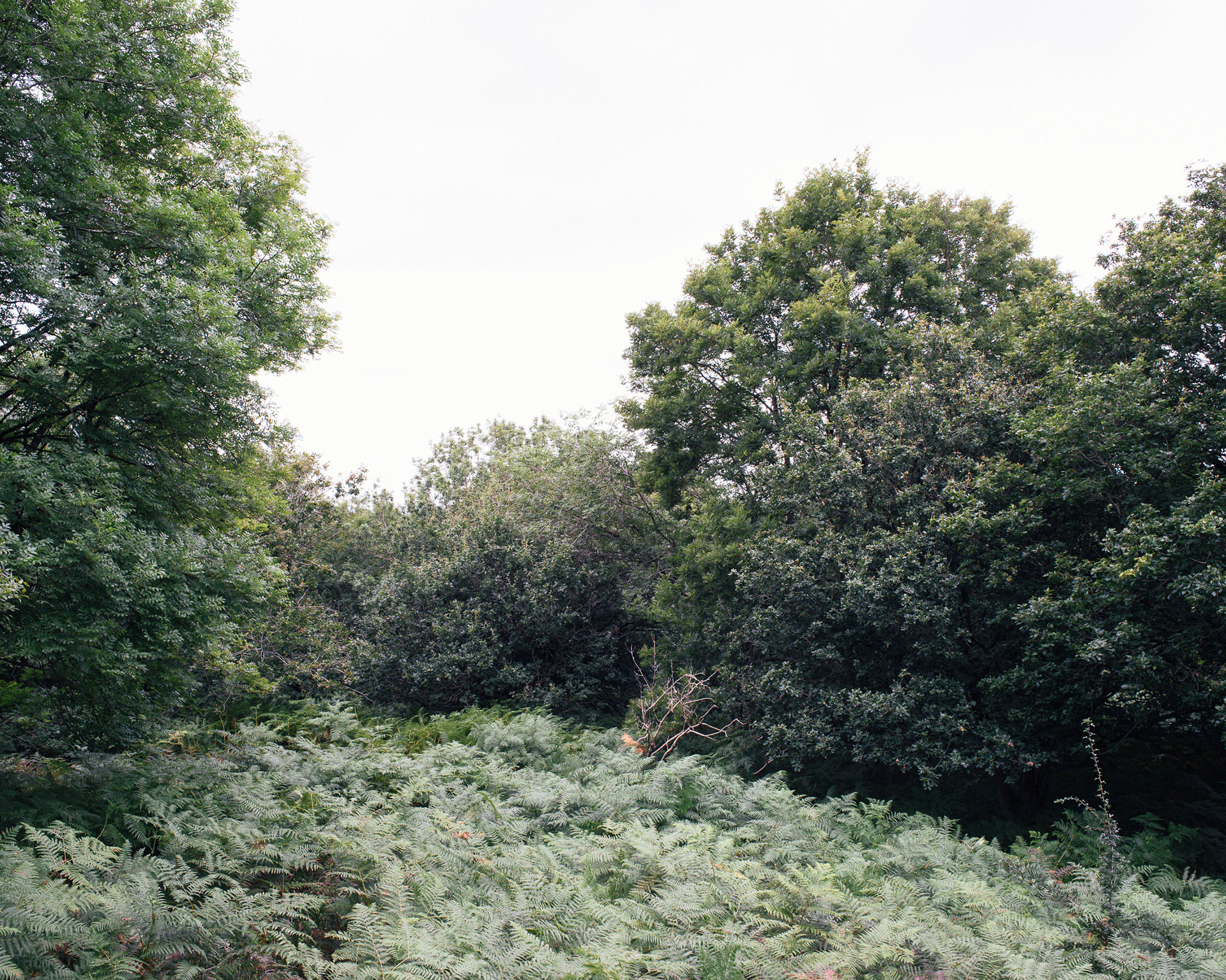
This series is the final case study made within the context of a PhD where the objective was to examine the visual consequences of conservation legislation within the Mendip Hills. This final series contains the photography made at Dolebury Warren, around the boundary of a scheduled monument that preserves an iron age fort at the site. Building on the methods used in the previous case studies, the strategy here is based on a map drawn as part of this research that combines the scheduled monument boundary with 100m x 100m squares derived from the Ordnance Survey National Grid system. This series includes one picture made within each of these grid sections. In each photograph, the viewer is invited to decide for themselves if they can identify the location or consequences of the conservation boundary. The photographs use this geo-locative strategy to link together a series of viewpoints that tie the final research practice of this project back to the objective at Sandford Hill - a critical examination of an idea of Natural Beauty.
1

2

3
4
5
6
7

8
9

10
11
12

13
14
15
16
17
18
19
20
21
22
23

24